


CONTACT US





NEWS & EVENTS
-
-
 GINTEC is set to make its debut at CHINTERGEO 2026, held from November 12 to 14, 2026, at Changsha International Convention & Exhibition Center. Visit us at Booth C076 & C077. At this exhibition, GINTEC will showcase its full portfolio of high-precision surveying solutions, including GNSS receivers, total stations, SLAM mobile mapping scanners and supporting survey software, demonstrating efficient and reliable surveying technologies for industry partners. As a professional supplier of surveying instruments and solutions, GINTEC keeps focusing on spatial measurement, committed to delivering precise positioning services for global customers. We sincerely invite peers from the industry to come to our booth for in-depth communication and business discussions, exploring new opportunities within the surveying and geospatial information ...
-
INTERGEO 2026 is scheduled from 15 September to 17 September 2026 in München. You can find GINTEC at Stand No. C6B140, Hall C6.


TOPOGRAPHY & MONITORING
PRODUCT INTRODUCTION
These are the products with greatest demand from our users


MONITORING & SAFETY
CASE STUDY
Provides Trusted Structural Health Monitoring Solutions for Geotechnical Engineering
-
Background of the Solution:In certain security monitoring scenarios such as tunnels, caves, and other similar environments, traditional network-based monitoring systems face challenges due to the unavailability of network signal coverage. To address this problem, we provide a comprehensive system solution that utilizes the C2000 data logger combined with fiber optic technology. This solution aims to reduce reliance on network signals and overcome issues related to long transmission distances, high cable costs, and signal loss. 1) C2000 Data Logger:The C2000 data logger is a high-performance data acquisition device with powerful computing capabilities. It can receive and process data collected by sensors and provides reliable local storage functionality. 2) Fiber Optic Technology:Fiber optic technology is a high-speed, low-latency data transmission technology that uses lig...
-
1.Software SLAM GO is a mobile APP that is used together with SLAM100. It can be connected to SLAM100 through mobile phones to do operations like project management, real-time point cloud puzzle display, image preview, firmware upgrade and so on. SLAM GO POST Pro, is a kind of PC software that is used together with SLAM100, embedded in the professional edition pf drone butler. It can be applied to make post-processing on the data collected by SLAM100 to produce color point clouds and partial panoramas with high precision and fineness, allowing browsing through and optimizing the point clouds. Smart point cloud is not only equipped with basic functions like browsing, rendering, denoising, resampling, removing redundancy and coloring, and function to automatically quickly filter out noise and make classification, but also has di...
-
Bazhong Reservoir in Sichuang Province, as one of China 172 national major water conservancy projects in water saving and water supply, has transferred from the construction stage to the operation stage from 21 June to 22 June, 2022. The reservoir comprehensively strengthens flood control and has become the first major water conservancy project in the upper reaches of the Qujiang River. It plays important roles on irrigation, flood control and water supply. The total estimated investment of the project is 3.189 billion RMB. Slope Monitoring in Reservoir During the construction of water conservancy projects, to ensure the safety and stability of buildings, it is necessary to excavate the mountains, which will form artificial slopes. After the slope is excavated, there will...


Professionals at your service
We are 100% committed to satisfying our clients in their requirements
70000
+
70000+ Uers
12
yr
12 Years Experience
70
+
Sold to 70+ Countries&Regions
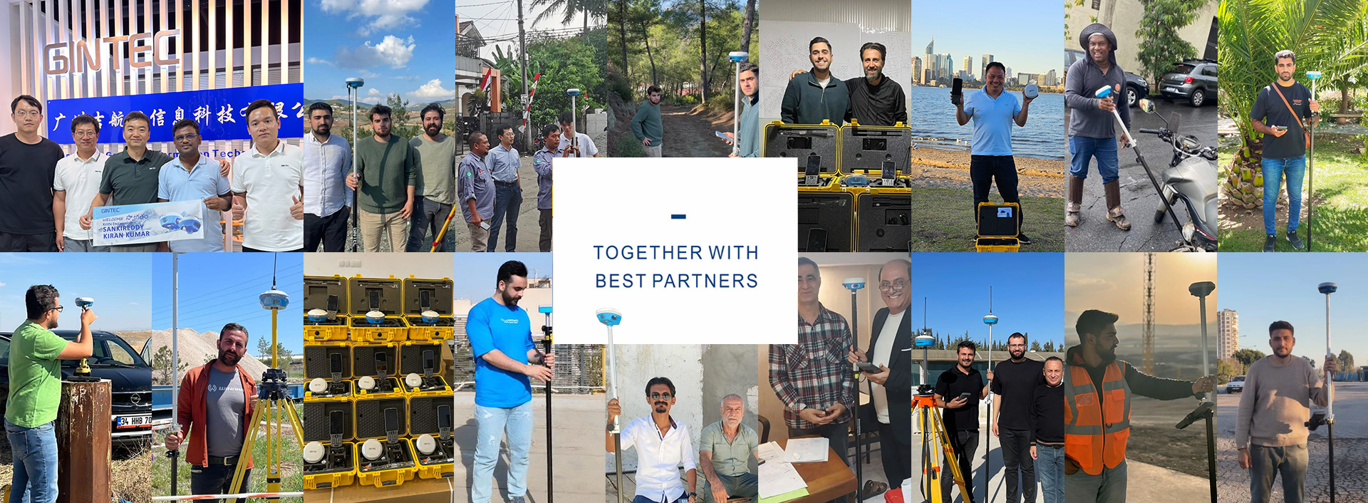
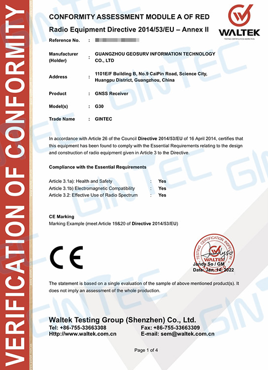
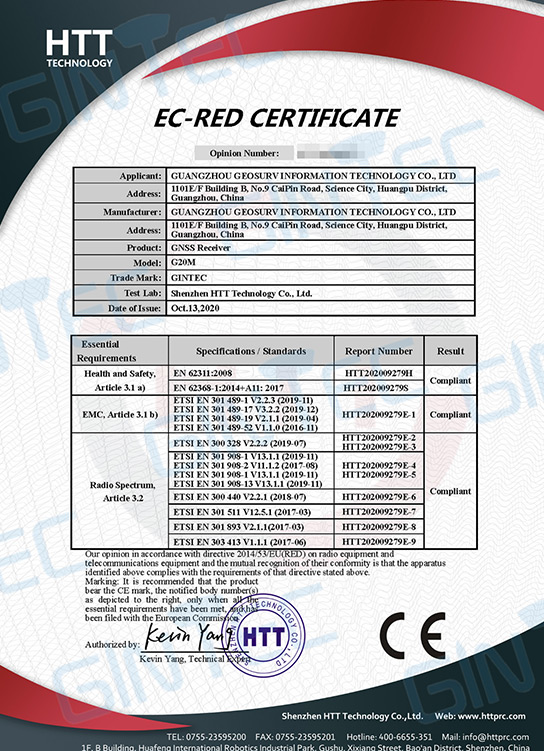
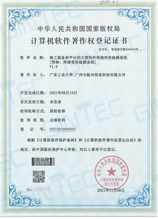
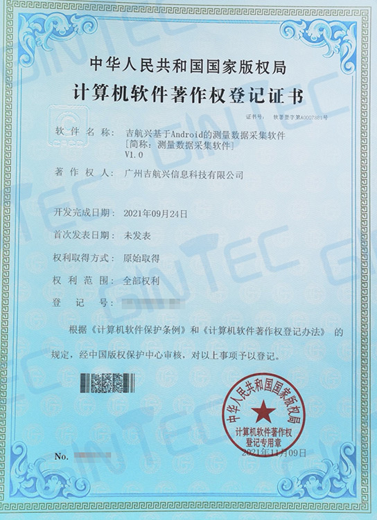
Company Honors
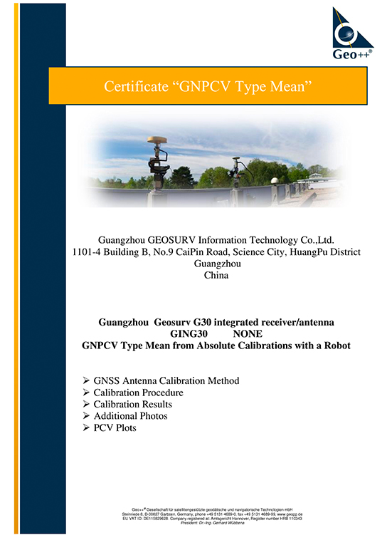
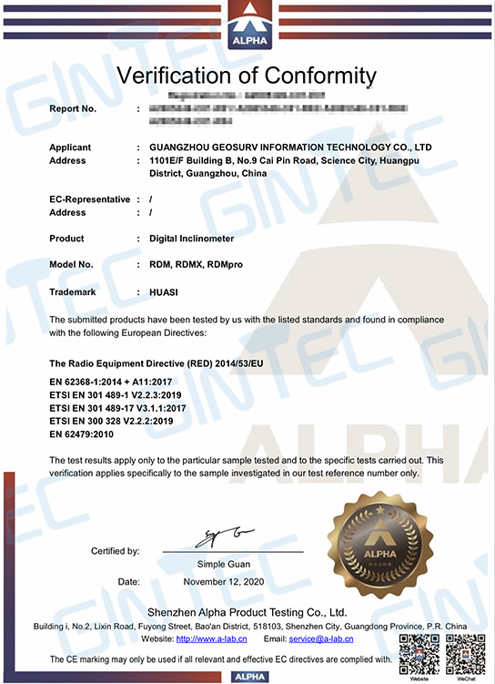
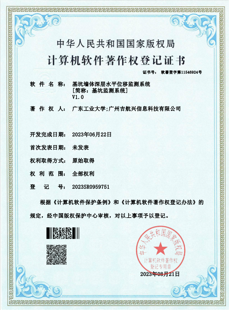
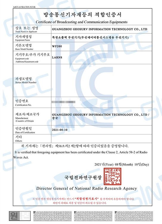
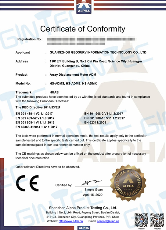
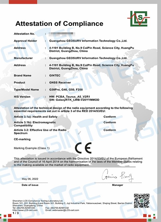
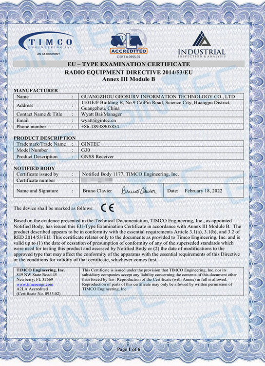
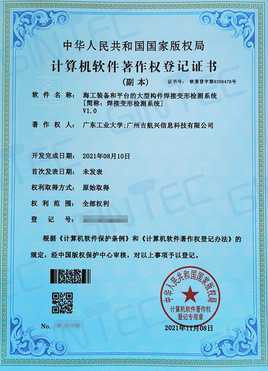
International Patents and Certificates



SUPPORT
FOLLOW US





© 2023 Guangzhou Geosurv InformationTechnology Co., Ltd copyright  粤公网安备44011202003238号 粤ICP备20072763号-1
