


CONTACT US



OfficeKit Update: Free Basic Static GNSS Processing & New Advanced Features
Over the past few months, we've received a lot of valuable feedback from our customers. Thanks to your suggestions, OfficeKit has improved significantly, and we've also gained a better understanding of what surveyors really need in their daily work.
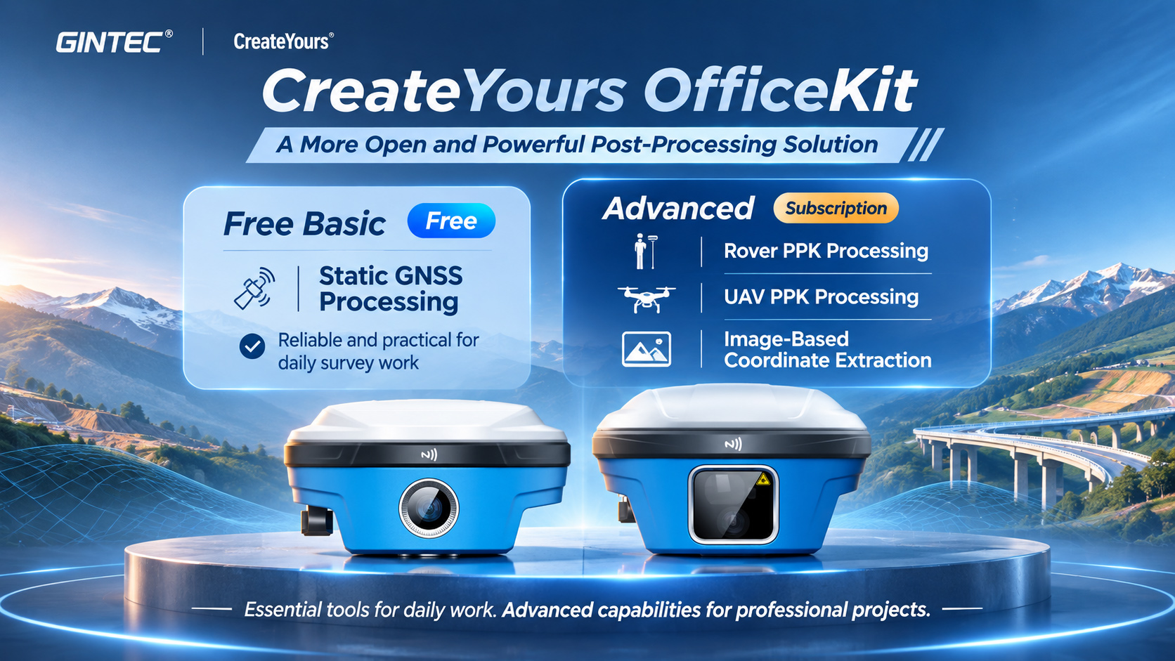
We've noticed that static GNSS processing is one of the most frequently used functions, so we've decided to make basic static processing free for our customers.
At the same time, we're expanding OfficeKit with more advanced capabilities, including:
Rover PPK Processing – Post-processing for kinematic GNSS surveys.
UAV PPK Processing – High-precision positioning for drone mapping. (special for DJI Drone)
Image-Based Coordinate Extraction – Obtaining point coordinates from G50Ultra imagery.
These advanced functions are planned to be available through flexible paid subscriptions.
Our goal is simple: Make essential surveying tools more accessible, while providing powerful professional solutions for customers who need more.
We want OfficeKit to become a reliable and practical tool that surveyors can use every day, and we'll continue improving it based on your feedback.
分享


SUPPORT
FOLLOW US





© 2023 Guangzhou Geosurv InformationTechnology Co., Ltd copyright  粤公网安备44011202003238号 粤ICP备20072763号-1
